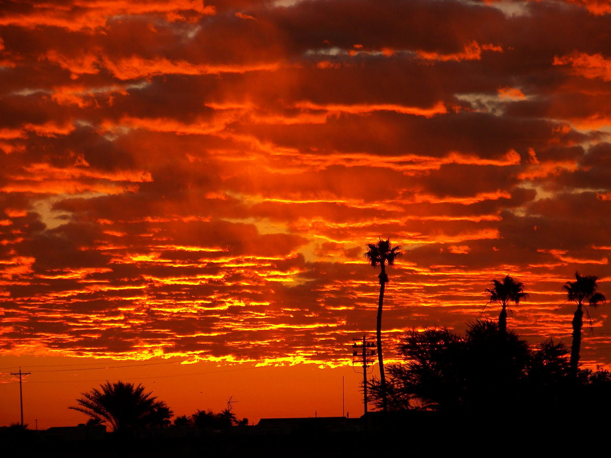
Entering a dry patch
High pressure brings in a "short term" drying effect for our area.

Now that we cleared the latest late fall weather disturbance hurdle, expect weak high pressure to gradually dry out the Desert Southwest through most of the upcoming weekend.
A weak Pacific cold front with ample moisture association will give our area another chance of rain showers.
But, similar to the last round of storms the amount of rain is expected to be very light to possibly not being measurable.
Nonetheless, the daytime highs ranging from the high 60's to the low 70's is not expected to change much at all.
