Excessive heat returns Wednesday as rain chances climb by the end of this week
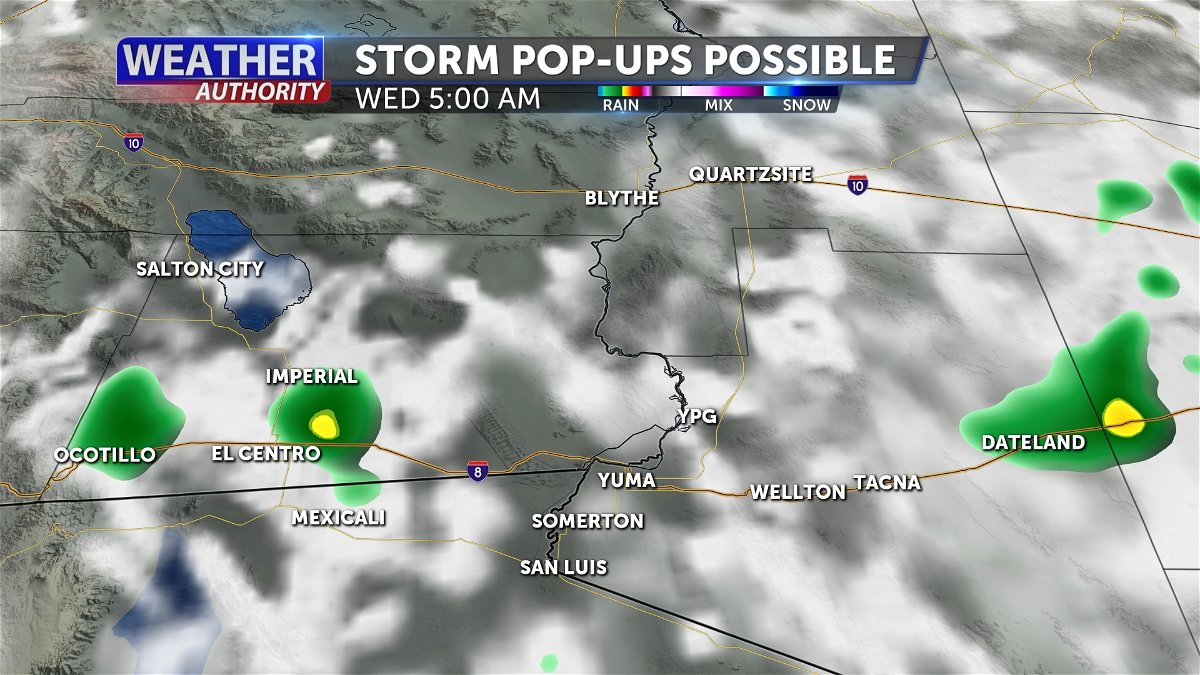
YUMA, Ariz. (KYMA, KECY-TV) - We did have some storm develop yesterday afternoon, toward our north/ along the I-10 brining some rain showers and severe thunderstorms to La Paz and Riverside Counties.
With a surge of monsoonal moisture from the southeast could still bring opportunities for storms to develop for the next couple of days.

There are slight chances Tuesday morning through Wednesday where isolated showers and thunderstorms could develop within our area.

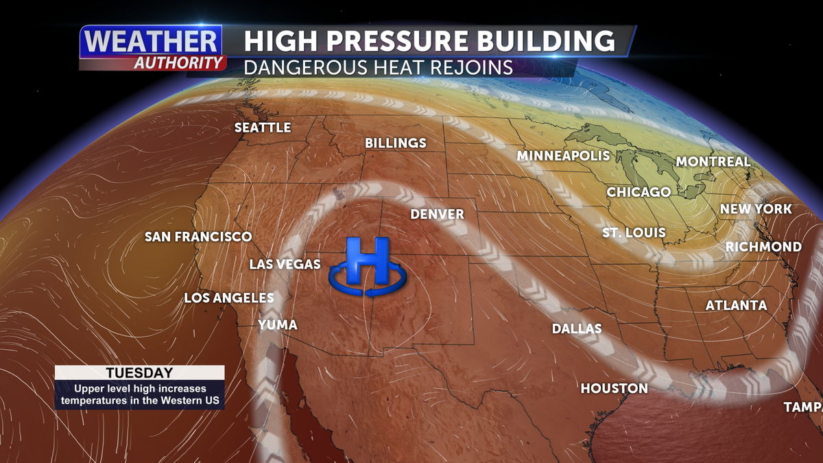
High pressure from the east will continue to build and expand toward the west heating back our temperatures and brining moisture from the Desert Southwest.

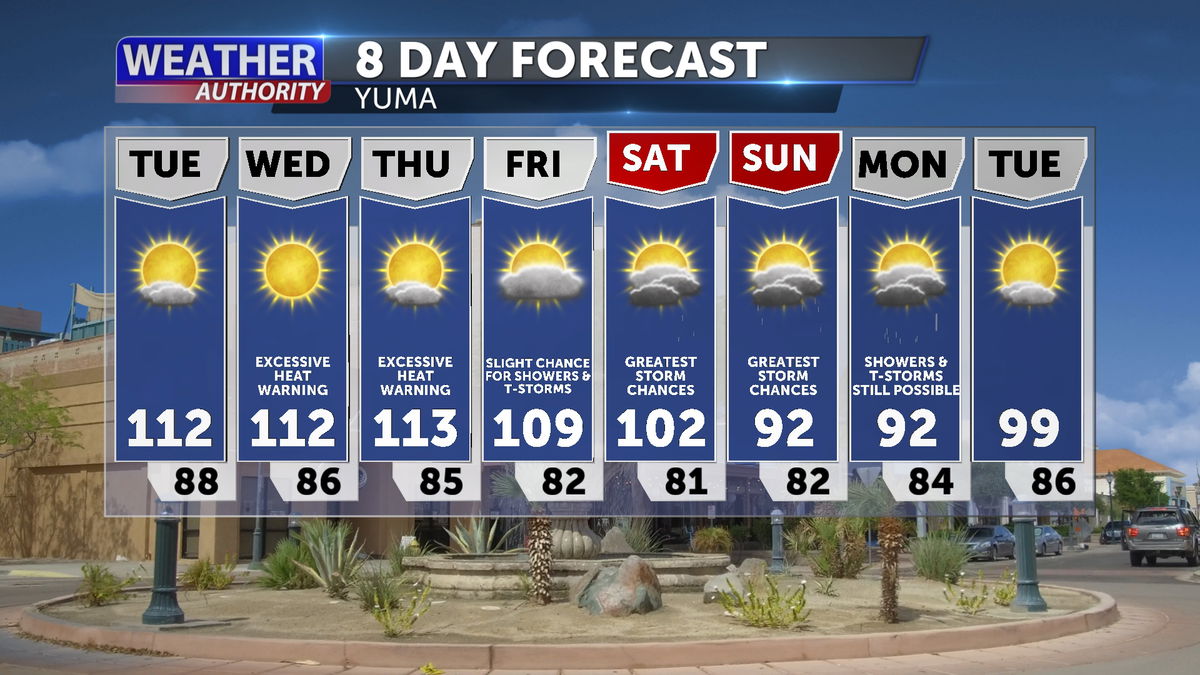
An Excessive Heat Warning is issued for portions of Yuma and Imperial Counties from Wednesday to Thursday.
Make sure to practice heat safety to prevent heat-related illnesses.

A cooler and wetter pattern is likely to settle into the region going into this upcoming weekend due to enhanced moisture levels from a tropical system tracking northward off Baja California.
With the surge of monsoonal moisture, it will significantly drop our temperatures below-normal and increase rain opportunities.
The greatest chances for showers and thunderstorms are looking Saturday-Monday where precipitation amounts between a quarter and half of an inch could be possible.

