Most rural counties in Arizona

United States Bureau of Land Management // Wikimedia Commons
Most rural counties in Arizona
A surprising number of U.S. counties have 100% rural land-702, in fact. Stacker compiled a list of the most rural counties in Arizona using data from the U.S. Census Bureau. Counties are ranked by the percent of land area that is rural, as of the 2010 Census, with ties broken by residents per square mile, according to 2020 5-year population estimates.
According to the Census Bureau, rural land encompasses any land that isn’t an urban area. To be considered an urban area, a place has to have a densely settled core of census tracts or blocks and count at least 2,500 people, at least 1,500 of whom must be residents of non-institutional buildings. Areas with 50,000 people or more are considered urbanized areas, while areas with between 2,500 and 50,000 people are considered urban clusters.
You may also like: Arizona is the #5 state with the fewest people living near toxic release facilities
![]()
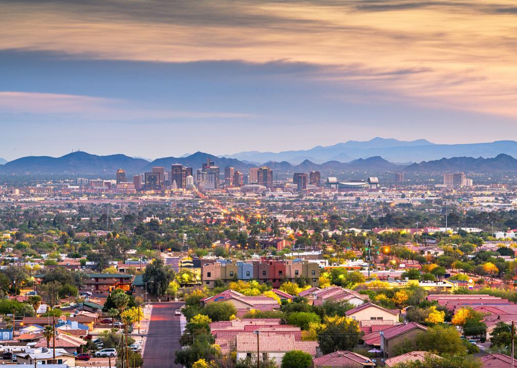
Sean Pavone // Shutterstock
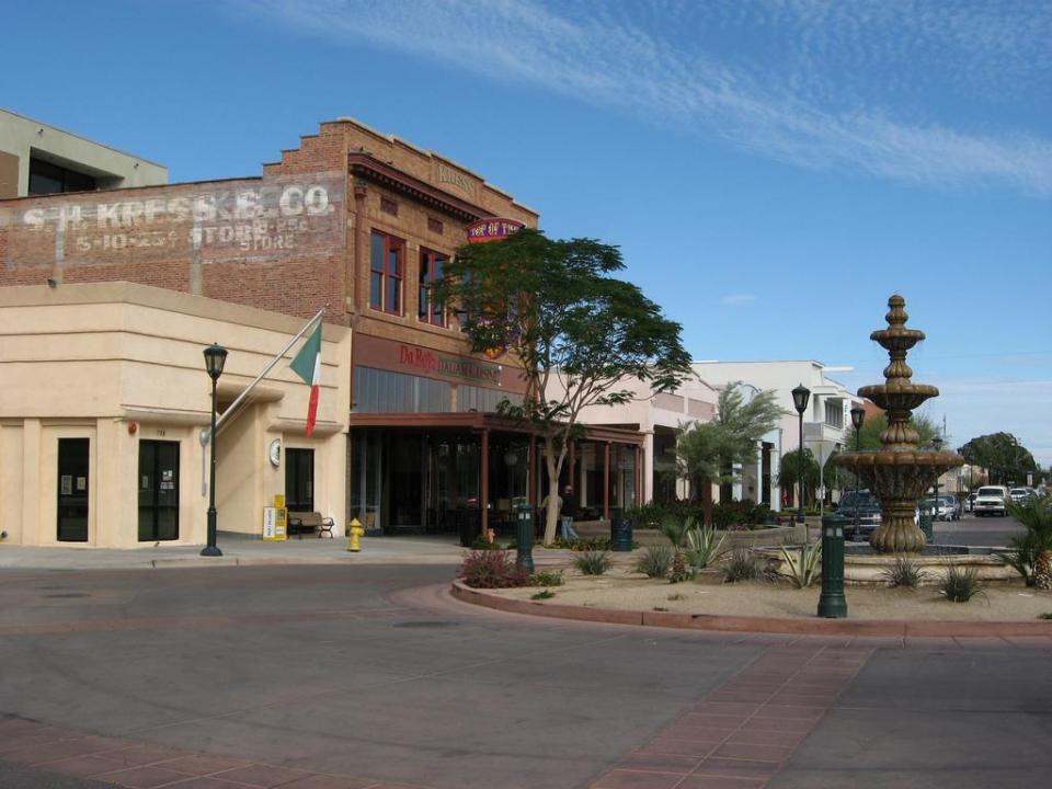
#15. Maricopa County
– Rural area: 87.0% (8,005 square miles)
– Urban area: 13.0% (1,196 square miles)
– Total land area: 9,200 square miles
— #5 largest county in state, #28 nationwide
– Population density: 479.6 people / square mile (4.4 million residents)
— #15 lowest density county in state, #2,870 nationwide
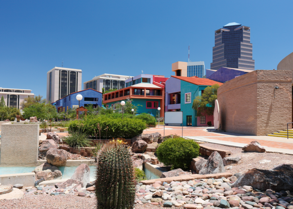
Jay Yuan // Shutterstock
#14. Pima County
– Rural area: 95.7% (8,791 square miles)
– Urban area: 4.3% (396 square miles)
– Total land area: 9,187 square miles
— #6 largest county in state, #29 nationwide
– Population density: 113.0 people / square mile (1.0 million residents)
— #14 lowest density county in state, #2,341 nationwide
zeesstof // Wikimedia Commons
#13. Pinal County
– Rural area: 97.8% (5,246 square miles)
– Urban area: 2.2% (120 square miles)
– Total land area: 5,366 square miles
— #10 largest county in state, #70 nationwide
– Population density: 83.4 people / square mile (447,559 residents)
— #13 lowest density county in state, #2,127 nationwide
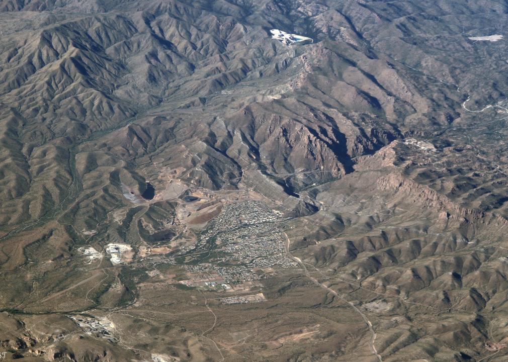
Elnogalense // Wikimedia Commons
#12. Santa Cruz County
– Rural area: 97.8% (1,210 square miles)
– Urban area: 2.2% (27 square miles)
– Total land area: 1,237 square miles
— #15 largest county in state, #494 nationwide
– Population density: 37.7 people / square mile (46,594 residents)
— #11 lowest density county in state, #1,413 nationwide
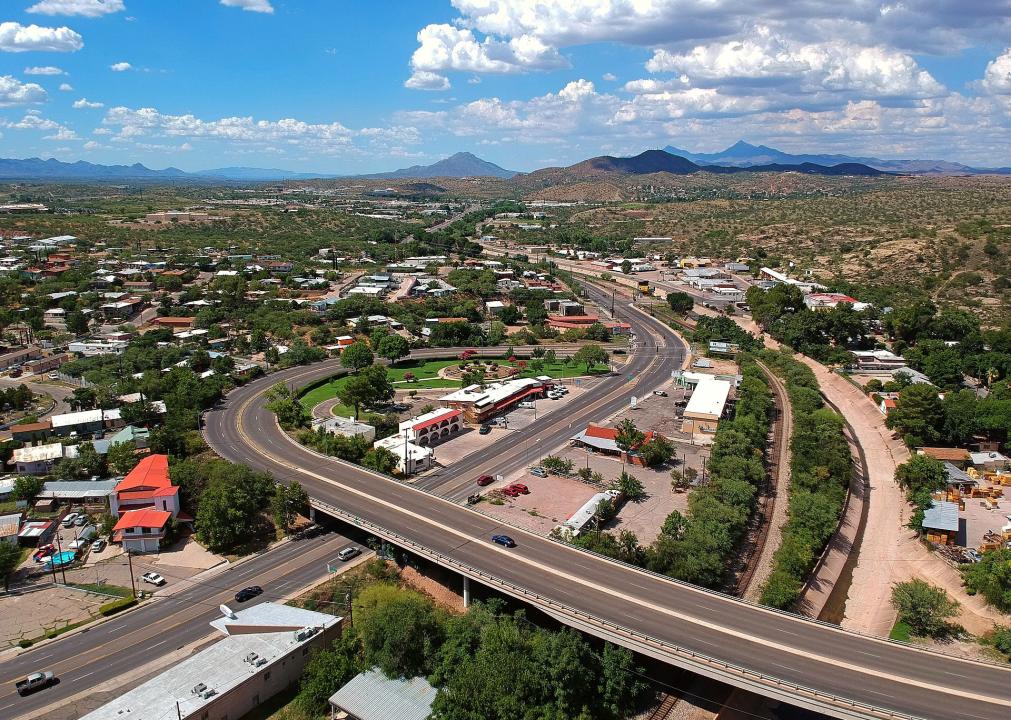
Ken Lund // Flickr
#11. Yuma County
– Rural area: 98.8% (5,445 square miles)
– Urban area: 1.3% (69 square miles)
– Total land area: 5,514 square miles
— #9 largest county in state, #66 nationwide
– Population density: 38.4 people / square mile (211,931 residents)
— #12 lowest density county in state, #1,437 nationwide
You may also like: Most popular girl names in the 80s in Arizona
Martha.baden // Wikimedia
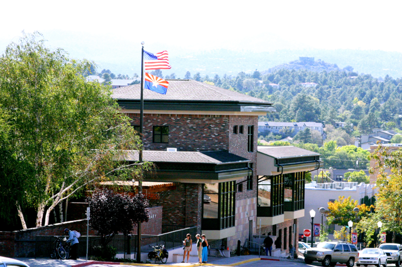
#10. Yavapai County
– Rural area: 98.9% (8,031 square miles)
– Urban area: 1.1% (92 square miles)
– Total land area: 8,123 square miles
— #7 largest county in state, #35 nationwide
– Population density: 28.6 people / square mile (232,396 residents)
— #10 lowest density county in state, #1,173 nationwide
Clay Gilliland // Flickr
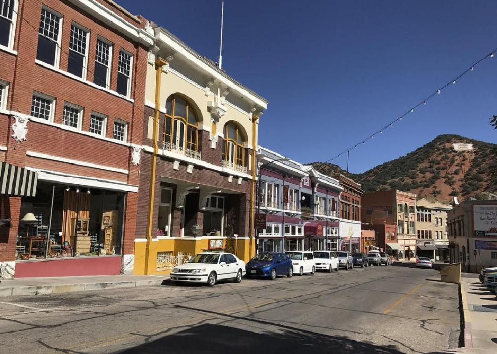
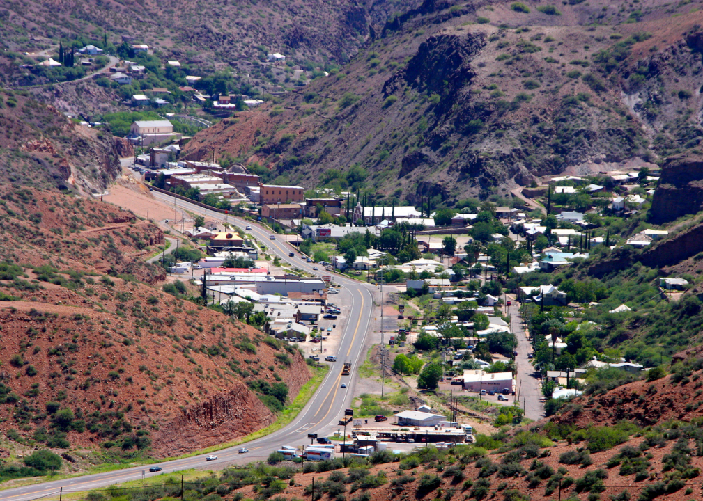
#9. Cochise County
– Rural area: 99.3% (6,122 square miles)
– Urban area: 0.7% (43 square miles)
– Total land area: 6,166 square miles
— #8 largest county in state, #57 nationwide
– Population density: 20.5 people / square mile (126,442 residents)
— #9 lowest density county in state, #909 nationwide

InSapphoWeTrust // Wikicommons
#8. Mohave County
– Rural area: 99.3% (13,218 square miles)
– Urban area: 0.7% (93 square miles)
– Total land area: 13,311 square miles
— #2 largest county in state, #17 nationwide
– Population density: 15.9 people / square mile (210,998 residents)
— #8 lowest density county in state, #763 nationwide
Ixnayonthetimmay // Wikimedia Commons
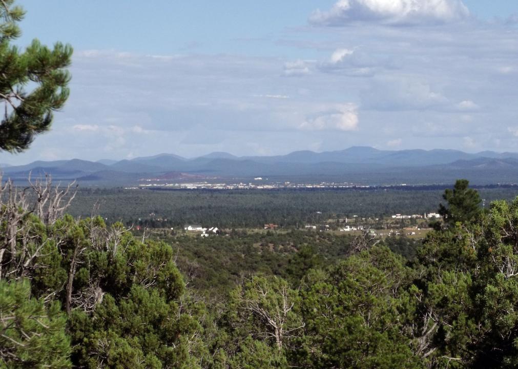
#7. Navajo County
– Rural area: 99.6% (9,907 square miles)
– Urban area: 0.4% (43 square miles)
– Total land area: 9,950 square miles
— #4 largest county in state, #24 nationwide
– Population density: 11.1 people / square mile (110,271 residents)
— #6 lowest density county in state, #609 nationwide
Alan Levine // Wikimedia Commons
#6. Gila County
– Rural area: 99.6% (4,738 square miles)
– Urban area: 0.4% (19 square miles)
– Total land area: 4,758 square miles
— #11 largest county in state, #89 nationwide
– Population density: 11.3 people / square mile (53,846 residents)
— #7 lowest density county in state, #614 nationwide
You may also like: Counties with the highest rate of food insecurity in Arizona
Wars // Wikimedia Commons
#5. Graham County
– Rural area: 99.7% (4,609 square miles)
– Urban area: 0.3% (14 square miles)
– Total land area: 4,623 square miles
— #12 largest county in state, #93 nationwide
– Population density: 8.3 people / square mile (38,304 residents)
— #5 lowest density county in state, #505 nationwide
HildaWeges Photography // Shutterstock
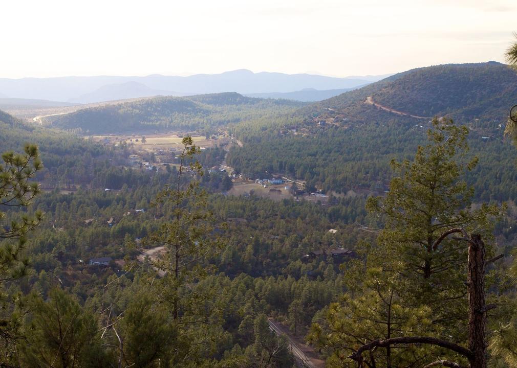
#4. Coconino County
– Rural area: 99.7% (18,571 square miles)
– Urban area: 0.3% (47 square miles)
– Total land area: 18,619 square miles
— #1 largest county in state, #11 nationwide
– Population density: 7.6 people / square mile (142,254 residents)
— #4 lowest density county in state, #478 nationwide
Bill Morrow // Wikimedia Commons
#3. Greenlee County
– Rural area: 99.8% (1,840 square miles)
– Urban area: 0.2% (3 square miles)
– Total land area: 1,843 square miles
— #14 largest county in state, #318 nationwide
– Population density: 5.1 people / square mile (9,465 residents)
— #2 lowest density county in state, #374 nationwide
Andreas F. Borchert // Wikimedia Commons
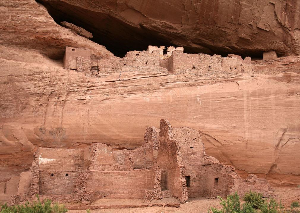
#2. Apache County
– Rural area: 99.9% (11,180 square miles)
– Urban area: 0.2% (17 square miles)
– Total land area: 11,198 square miles
— #3 largest county in state, #19 nationwide
– Population density: 6.4 people / square mile (71,714 residents)
— #3 lowest density county in state, #431 nationwide
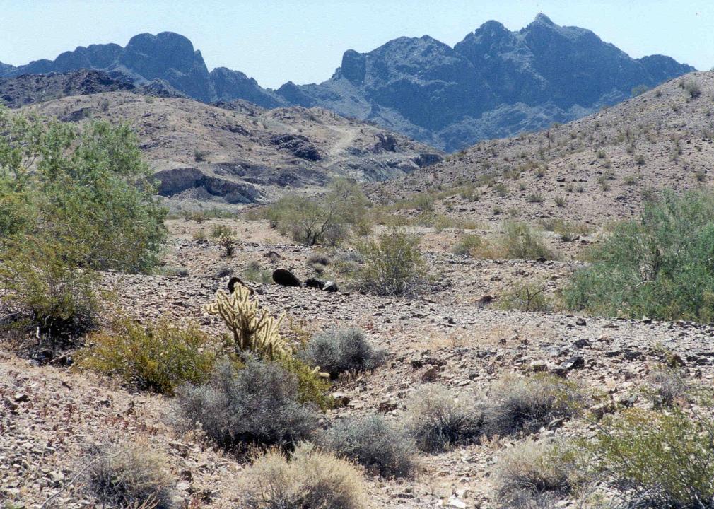
United States Bureau of Land Management // Wikimedia Commons
#1. La Paz County
– Rural area: 99.9% (4,494 square miles)
– Urban area: 0.1% (6 square miles)
– Total land area: 4,500 square miles
— #13 largest county in state, #100 nationwide
– Population density: 4.7 people / square mile (21,035 residents)
— #1 lowest density county in state, #357 nationwide
You may also like: Counties with the most college graduates in Arizona