Downbursts: The formation process

YUMA, Ariz. (KYMA, KECY-TV) - Downbursts are powerful winds that descend from a thunderstorm and spread out quickly once they hit the ground.
These winds can easily cause damage similar to that of a EF0 (65-85mph winds) or even EF1 (86-110mph winds) tornado, and are sometimes misinterpreted as tornadoes.
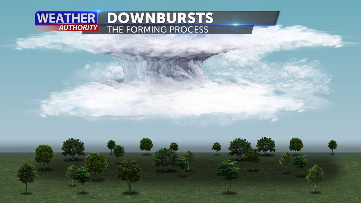
In the initial stages of a growing thunderstorm, a powerful updraft dominates. The cloud grows vertically, and raindrops and hailstones start to form.
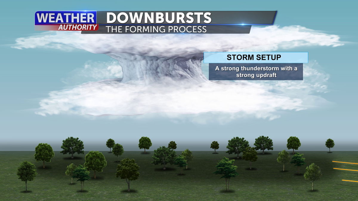
As the storm matures, the updraft continues to feed the cloud with moist, unstable air. Raindrops and hailstones become large enough to fall to the ground. The strong flow can develop on the backside of the storm and introduce drier air into the middle and lower parts of the storm
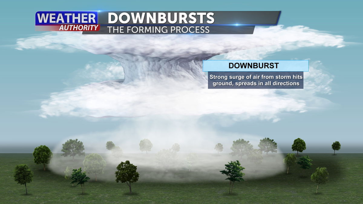
In a downburst, large core of rain and hail that the updraft had been holding in the upper parts of the storm falls rapidly towards the ground.
It falls very quickly and drags a lot of air along with it, gaining speed as it plummets earthward. If the air beneath the base of the storm has low relative humidity, the downdraft's speed will increase further as some of the rain entering the dry air evaporates and cools the air, making the air "heavier."
Then, if there is also a current of dry air coming into the storm aloft, cooling by evaporation can increase further and the downdraft becomes even stronger.

When the downdraft hits the ground, much like a stream of water coming out of a faucet and hitting the sink, it spreads out rapidly in all directions and becomes known as a downburst.
Downburst wind speeds have been known to exceed 100 mph, which is as strong as a tornado.
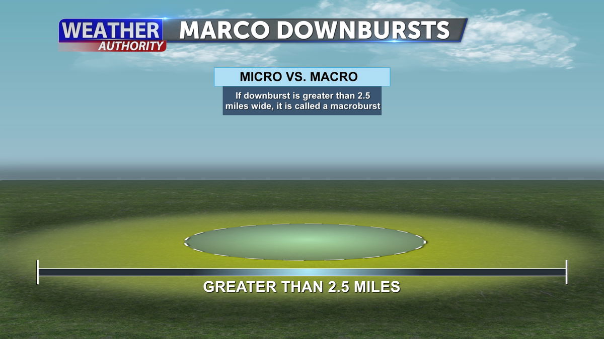
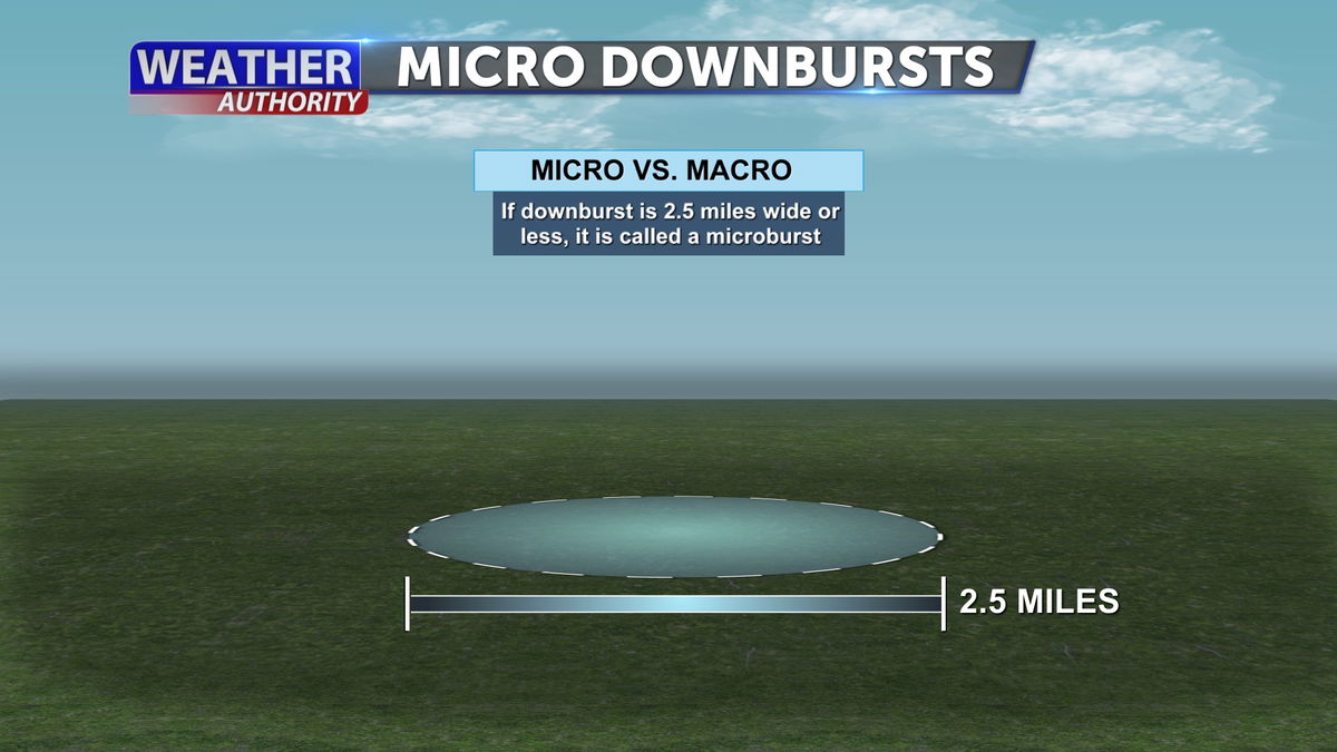
The type of downburst we hear about most often is a "microburst," which means the damaging winds are confined to an area less than two and a half miles across.
Macrobursts can affect areas larger than 2.5 miles and last longer than 7 minutes, with winds that can reach speeds of up to 134 mph.
The winds can spread out over a wider area, sometimes causing damage that resembles a tornado.