Hurricane Kay increasing flood threats for the Desert Southwest
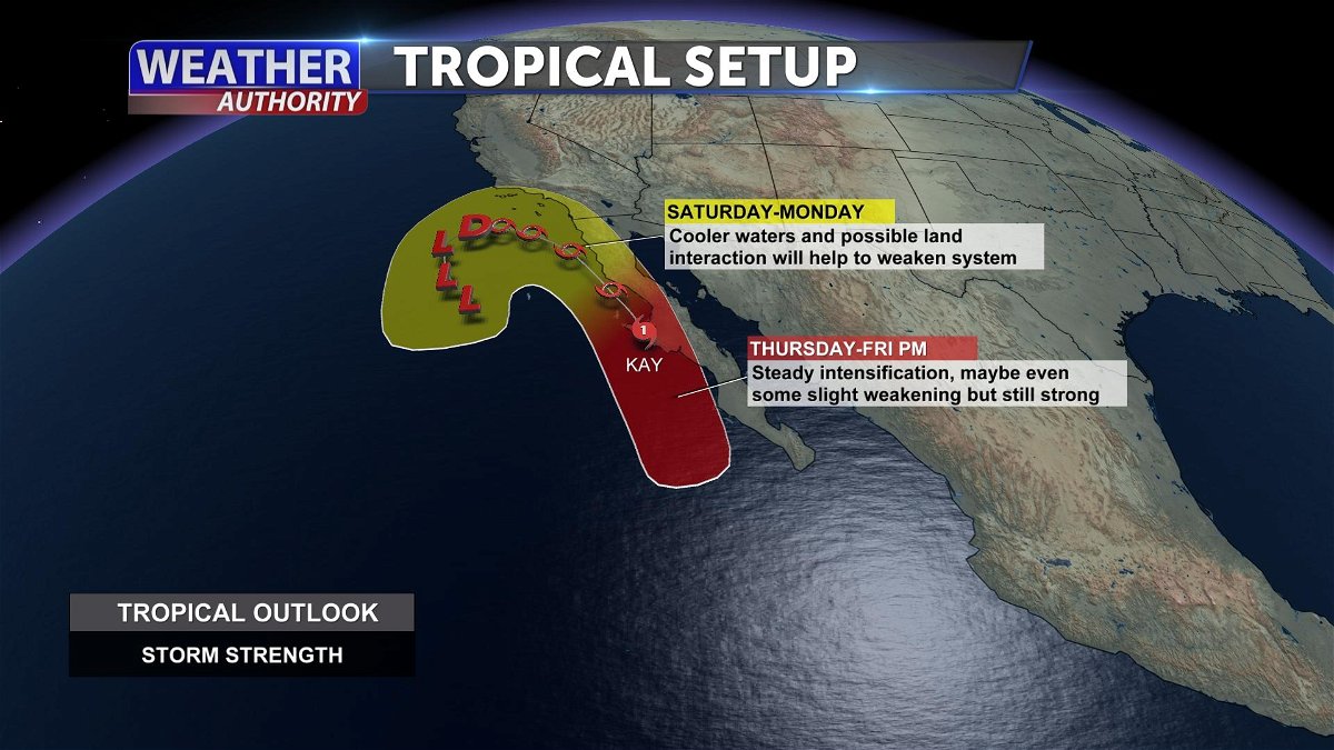
YUMA, Ariz. (KYMA, KECY-TV) - As of this afternoon Hurricane Kay is a Category 1 storm with maximum winds of 75 MPH.
Kay's track continues to move the northerly route before its expected to turn west on Friday.
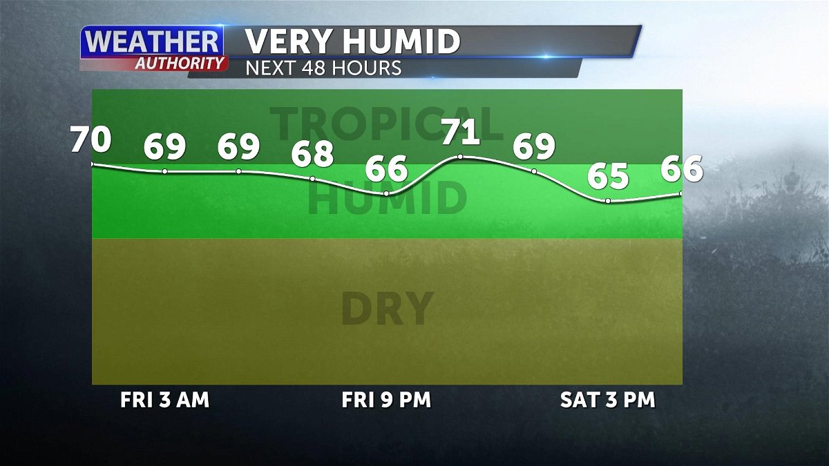
Kay will make major changes to our weather here in the Desert Southwest starting with a very deep moisture entering our region.
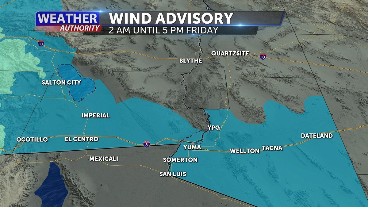
Stronger winds is expected to develop later tonight with possible gusts reaching as high as 45 MPH.
A Wind Advisory is issued for 2 a.m. until 5 p.m. Friday for Yuma and Imperial counties, be aware of blowing dust and sand.
The first round of rain is expected to arrive tomorrow morning with increasing rain opportunities through the afternoon.
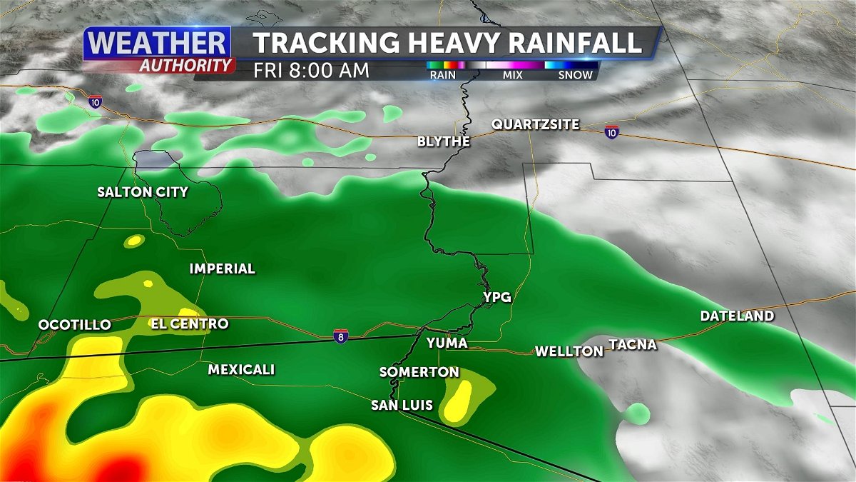
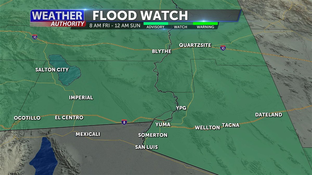
Heavy rainfall is possible so there's a Flood Watch issued for the Desert Southwest for 8 a.m. Friday until 12 a.m. Sunday.
Excessive rainfall could lead to flooding especially in dry creeks, streams, and other low-lying flood prone locations.
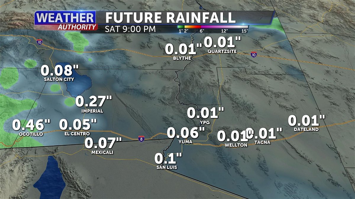
Rainfall totals will vary, but with the tropical moisture greater amounts could accumulate thorough Saturday.
