An active weather pattern pushed through the Desert Southwest to kick off our Monday
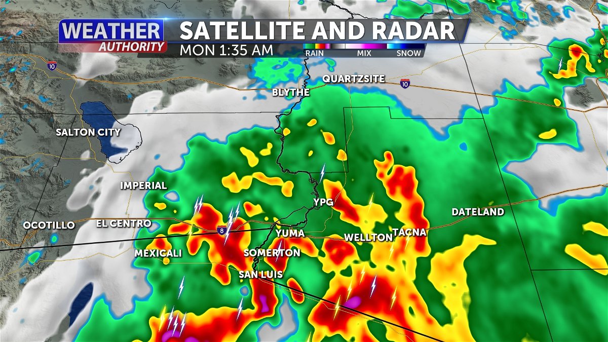
YUMA, Ariz. (KYMA, KECY-TV) - A big storm pushed through the Desert Southwest early Monday morning.
This active storm hit a little after midnight and brought rainfall, lightning, and gusty winds across our area.
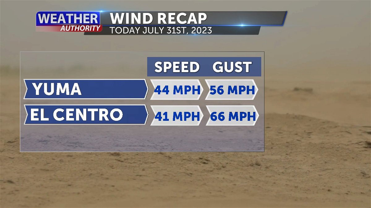
From the severe weather brought some gusty winds from the southwest peaking gusts over 50 MPH for Yuma and El Centro.
However, we did have rain, but unfortunately there was no measurement recorded and according the National Weather Service Phoenix, the amount is T which indicates TRACE amount for both Yuma and El Centro.
An upper-level weather disturbance will continue to impact the region Monday with plenty of monsoonal moisture bringing higher-than-normal chances for showers and thunderstorms across much of
Southern Arizona.
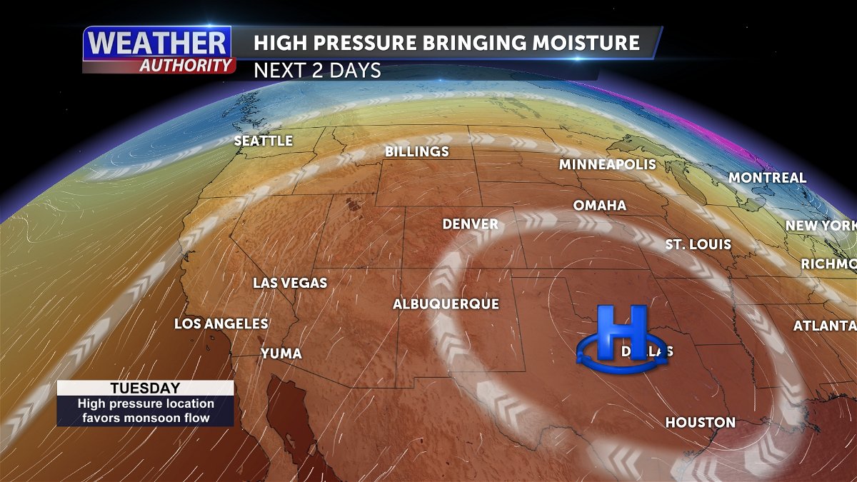
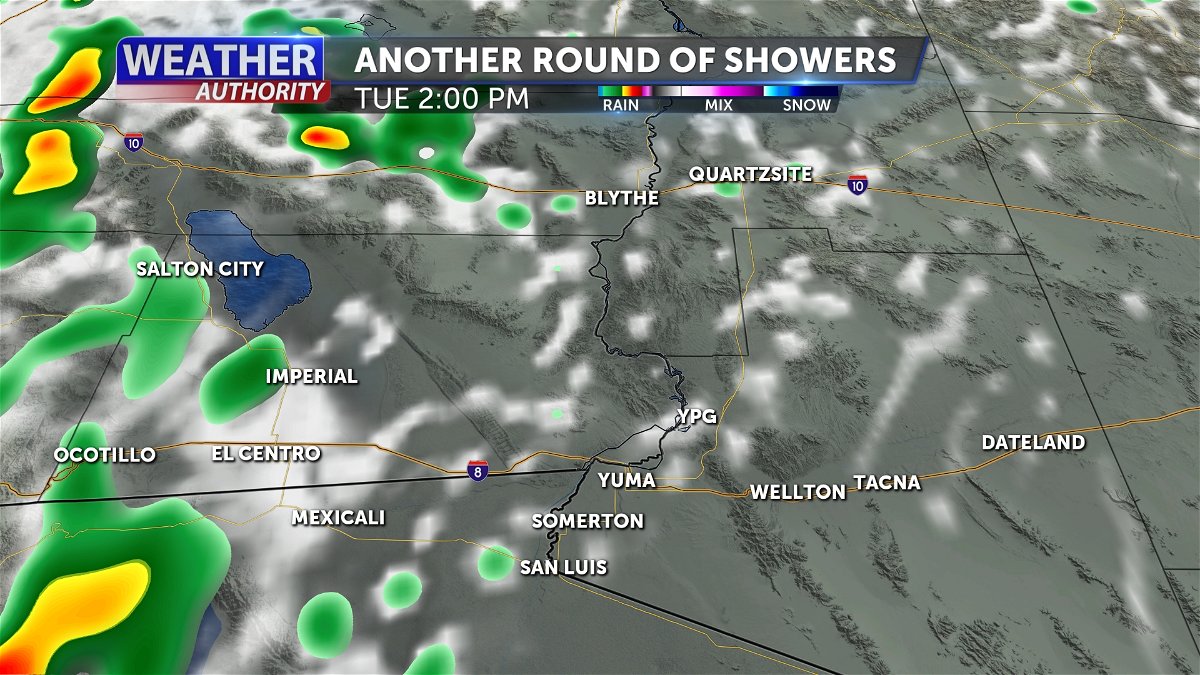
Rain chances will remain in the forecast through Tuesday.
While strong gusty winds and dense blowing dust will be the primary weather hazards, some locations could experience heavy rainfall even on Tuesday.
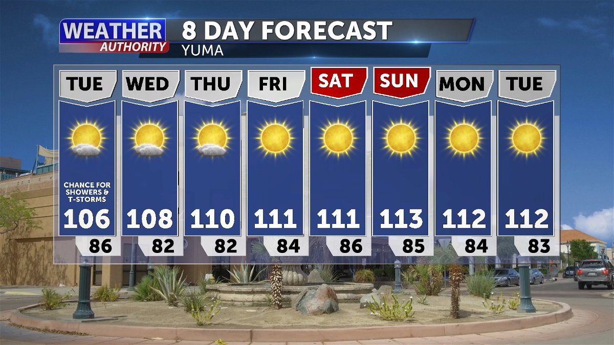
Drier conditions are expected to return during the latter half of the week.
Later this week temperatures will begin to warm back up where highs will highs once again trend 110+ degrees.
